Geolocate

Riyadh topographic map

Interactive map

Click on the map to display elevation.

About this map

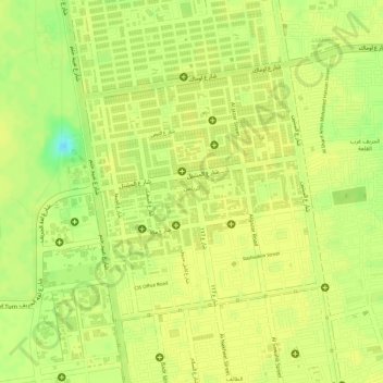
Name: Riyadh topographic map, elevation, terrain.

Location: Riyadh, Khartoum, Khartoum State, Sudan (15.57044 32.55962 15.58830 32.57701)

Average elevation: 385 m

Minimum elevation: 369 m

Maximum elevation: 387 m

Other topographic maps

Click on a map to view its topography, its elevation and its terrain.

East Nile

Sudan > Khartoum State

East Nile, Khartoum State, Sudan

Average elevation: 391 m

Wad Ramli

Sudan > Khartoum State

Wad Ramli, Khartoum State, Sudan

Average elevation: 375 m

Khartoum

Sudan > Khartoum State > Khartoum

Khartoum, Khartoum State, 11111, Sudan

Average elevation: 388 m

Omdurman

Sudan > Khartoum State

Omdurman, Khartoum State, Sudan

Average elevation: 401 m

Khartoum

Sudan > Khartoum State

Khartoum, Khartoum State, Sudan

Average elevation: 384 m

Omdurman

Sudan > Khartoum State > Omdurman

Omdurman, Khartoum State, -, Sudan

Average elevation: 395 m