
Harrison topographic map
Interactive map
Click on the map to display elevation.
About this map
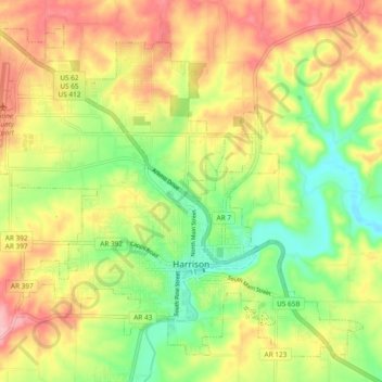
Name: Harrison topographic map, elevation, terrain.
Location: Harrison, Boone County, Arkansas, 72601, United States (36.21107 -93.15930 36.27756 -93.06517)
Average elevation: 371 m
Minimum elevation: 300 m
Maximum elevation: 447 m
Other topographic maps
Click on a map to view its topography, its elevation and its terrain.
Diamond City
United States > Arkansas > Boone County
Diamond City, Boone County, Arkansas, 72630, United States
Average elevation: 223 m
Everton
United States > Arkansas > Boone County
Everton, Boone County, Arkansas, 72633, United States
Average elevation: 292 m