
Dhamas topographic map
Interactive map
Click on the map to display elevation.
About this map
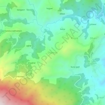
Name: Dhamas topographic map, elevation, terrain.
Location: Dhamas, Almora, Uttarakhand, 263601, India (29.58266 79.56634 29.62266 79.60634)
Average elevation: 1,387 m
Minimum elevation: 1,140 m
Maximum elevation: 1,968 m
Other topographic maps
Click on a map to view its topography, its elevation and its terrain.