
Siem Pang topographic map
Interactive map
Click on the map to display elevation.
About this map
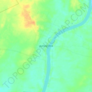
Name: Siem Pang topographic map, elevation, terrain.
Location: Siem Pang, Stung Treng, Cambodia (14.07636 106.34689 14.15636 106.42689)
Average elevation: 70 m
Minimum elevation: 59 m
Maximum elevation: 90 m
Other topographic maps
Click on a map to view its topography, its elevation and its terrain.