
Nettilling Lake topographic map
Interactive map
Click on the map to display elevation.
About this map
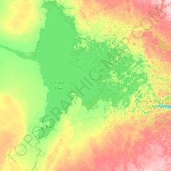
Name: Nettilling Lake topographic map, elevation, terrain.
Location: Nettilling Lake, Nunavut, Kanada (65.66569 -71.45007 67.03385 -69.08848)
Average elevation: 95 m
Minimum elevation: 0 m
Maximum elevation: 389 m
Other topographic maps
Click on a map to view its topography, its elevation and its terrain.