
Phong Nha Town topographic map
Interactive map
Click on the map to display elevation.
About this map
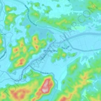
Name: Phong Nha Town topographic map, elevation, terrain.
Average elevation: 66 m
Minimum elevation: -13 m
Maximum elevation: 400 m
Other topographic maps
Click on a map to view its topography, its elevation and its terrain.
Sơn Lý
Vietnam > Quang Binh province > Bố Trạch District
Sơn Lý, Bố Trạch District, Quang Binh province, Vietnam
Average elevation: 34 m