
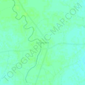
Ban Khlong Suk Chai topographic map
Interactive map
Click on the map to display elevation.
About this map
Name: Ban Khlong Suk Chai topographic map, elevation, terrain.
Average elevation: 55 m
Minimum elevation: 50 m
Maximum elevation: 58 m
Other topographic maps
Click on a map to view its topography, its elevation and its terrain.
Ban Nam Dip
Thailand > Kamphaeng Phet Province > Ban Nam Dip
Ban Nam Dip, Nong Pling, Kamphaeng Phet Province, Thailand
Average elevation: 94 m
Kamphaeng Phet Province
Thailand > Kamphaeng Phet Province
Kamphaeng Phet Province, Thailand
Average elevation: 162 m