
Marme topographic map
Interactive map
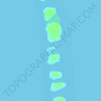
Click on the map to display elevation.
About this map
Name: Marme topographic map, elevation, terrain.
Location: Marme, Ailuk, Marshall Islands (10.24995 169.98328 10.25005 169.98338)
Average elevation: 0 m
Minimum elevation: 0 m
Maximum elevation: 11 m
Other topographic maps
Click on a map to view its topography, its elevation and its terrain.
Bikini Atoll
Marshall Islands > Ralik Chain
There are 23 islands in the Bikini Atoll; the islands of Bokonijien, Aerokojlol and part of Namu were destroyed during the nuclear tests. The islands are composed of low coral limestone and sand. The average elevation is only about 7 feet (2.1 m) above low tide level. The total lagoon area is 229.4-square-mile…
Average elevation: 0 m
Bikar
Marshall Islands > Ratak Chain
In 1954, the fallout plume from the Castle Bravo nuclear test passed over Bikar about 20 hours after the shot. Based on ash from plant samples taken on March 9, the atoll was contaminated by about 1,400,000 d/m/gm of radioactive material, compared with 35,000,000 d/m/gm from the most contaminated soil samples…
Average elevation: 0 m
Majuro
At the western end of the atoll, about 50 kilometers (30 mi) from Delap-Uliga-Djarrit (DUD) by road, is the island community of Laura, an expanding residential area with a popular beach. Laura has the highest elevation point on the atoll, estimated at less than 3 meters (10 feet) above sea level. Djarrit is…
Average elevation: 0 m
Enewetak Atoll
Enewetak has a mean elevation above sea level of 3 meters (9.8 ft).
Average elevation: 0 m