
Lewa topographic map
Interactive map
Click on the map to display elevation.
About this map
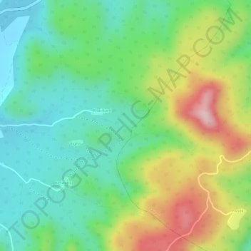
Name: Lewa topographic map, elevation, terrain.
Location: Lewa, Borio, Sahibganj (district), Jharkhand, India (25.02003 87.65572 25.02461 87.65979)
Average elevation: 172 m
Minimum elevation: 79 m
Maximum elevation: 321 m
Other topographic maps
Click on a map to view its topography, its elevation and its terrain.