
Marwa topographic map
Interactive map
Click on the map to display elevation.
About this map
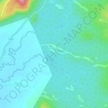
Name: Marwa topographic map, elevation, terrain.
Location: Marwa, Borio, Sahibganj District, Jharkhand, India (25.12623 87.65634 25.14049 87.67886)
Average elevation: 111 m
Minimum elevation: 85 m
Maximum elevation: 228 m
Other topographic maps
Click on a map to view its topography, its elevation and its terrain.