
Eldred topographic map
Interactive map
Click on the map to display elevation.
About this map
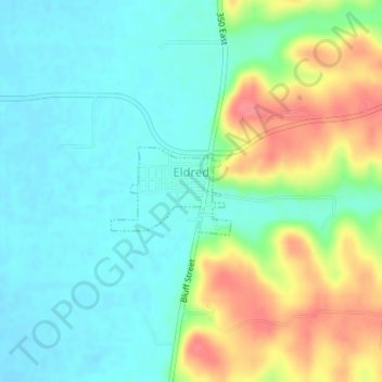
Name: Eldred topographic map, elevation, terrain.
Location: Eldred, Greene County, Illinois, 62027, United States (39.28306 -90.55968 39.28930 -90.54868)
Average elevation: 153 m
Minimum elevation: 128 m
Maximum elevation: 203 m
Other topographic maps
Click on a map to view its topography, its elevation and its terrain.