
Rosebery topographic map
Click on the map to display elevation.
About this map
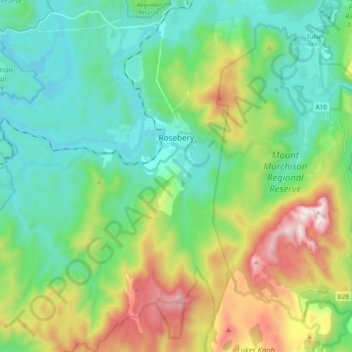
Name: Rosebery topographic map, elevation, terrain.
Location: Rosebery, West Coast, Tasmania, 7470, Australia (-41.86624 145.44341 -41.72276 145.60948)
Average elevation: 429 m
Minimum elevation: 97 m
Maximum elevation: 1,243 m
Other topographic maps
Click on a map to view its topography, its elevation and its terrain.