
Pajau topographic map
Interactive map
Click on the map to display elevation.
About this map
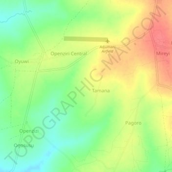
Name: Pajau topographic map, elevation, terrain.
Location: Pajau, Adjumani, Northern Region, Uganda (3.30833 31.74339 3.34833 31.78339)
Average elevation: 792 m
Minimum elevation: 761 m
Maximum elevation: 823 m
Other topographic maps
Click on a map to view its topography, its elevation and its terrain.