
Graf topographic map
Interactive map
Click on the map to display elevation.
About this map
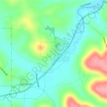
Name: Graf topographic map, elevation, terrain.
Location: Graf, Dubuque County, Iowa, États-Unis d'Amérique (42.49038 -90.87807 42.49613 -90.86818)
Average elevation: 260 m
Minimum elevation: 226 m
Maximum elevation: 337 m
Other topographic maps
Click on a map to view its topography, its elevation and its terrain.
Bernard
États-Unis d'Amérique > Iowa > Dubuque County
Bernard, Dubuque County, Iowa, États-Unis d'Amérique
Average elevation: 289 m