
Hesar topographic map
Interactive map
Click on the map to display elevation.
About this map
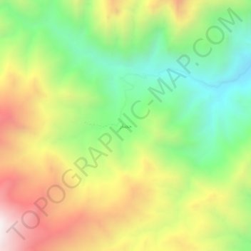
Name: Hesar topographic map, elevation, terrain.
Location: Hesar, بخش مرکزی, Khoy County, West Azerbaijan Province, Iran (38.54537 44.61092 38.58537 44.65092)
Average elevation: 2,446 m
Minimum elevation: 1,900 m
Maximum elevation: 3,146 m
Other topographic maps
Click on a map to view its topography, its elevation and its terrain.