
Kotabunan topographic map
Interactive map
Click on the map to display elevation.
About this map
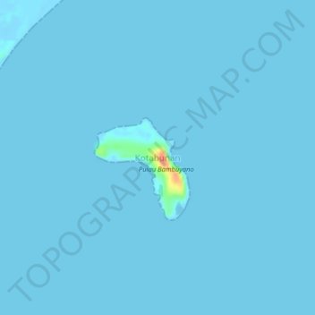
Name: Kotabunan topographic map, elevation, terrain.
Location: Kotabunan, Bolaang Mongondow Timur, North Sulawesi, Indonesia (0.75790 124.63839 0.79790 124.67839)
Average elevation: 1 m
Minimum elevation: -6 m
Maximum elevation: 51 m
Other topographic maps
Click on a map to view its topography, its elevation and its terrain.