
Janggir Leto topographic map
Interactive map
Click on the map to display elevation.
About this map
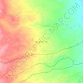
Name: Janggir Leto topographic map, elevation, terrain.
Location: Janggir Leto, Simalungun, North Sumatra, Indonesia (2.89760 98.97860 2.93760 99.01860)
Average elevation: 593 m
Minimum elevation: 516 m
Maximum elevation: 661 m
Other topographic maps
Click on a map to view its topography, its elevation and its terrain.