
Spirit island topographic map
Interactive map
Click on the map to display elevation.
About this map
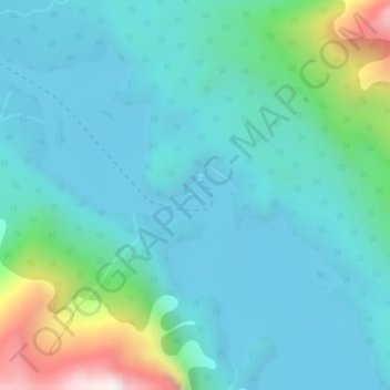
Name: Spirit island topographic map, elevation, terrain.
Average elevation: 1,812 m
Minimum elevation: 1,673 m
Maximum elevation: 2,428 m
Other topographic maps
Click on a map to view its topography, its elevation and its terrain.
Mount Columbia
Canada > Alberta > Improvement District No. 12 > Area A (Kicking Horse/Kinbasket Lake)
Average elevation: 2,843 m
Columbia Icefield
Canada > Alberta > Improvement District No. 12 > Area A (Kicking Horse/Kinbasket Lake)
Columbia Icefield has an alpine climate (Köppen: ETf), because the weather station is located at an altitude of 1,981.20 m (6,500 ft). The average annual temperature is −2.1 °C (28.2 °F). The month of July is the warmest with an average temperature of 9.1 °C (48.38 °F).
Average elevation: 2,498 m