
Jasper National Park topographic map
Interactive map
Click on the map to display elevation.
About this map
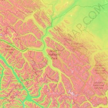
Name: Jasper National Park topographic map, elevation, terrain.
Average elevation: 1,782 m
Minimum elevation: 571 m
Maximum elevation: 3,919 m
Other topographic maps
Click on a map to view its topography, its elevation and its terrain.
Mount Columbia
Canada > Alberta > Improvement District No. 12 > Area A (Kicking Horse/Kinbasket Lake)
Average elevation: 2,843 m