
Forresu topographic map
Interactive map
Click on the map to display elevation.
About this map
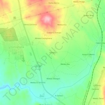
Name: Forresu topographic map, elevation, terrain.
Location: Forresu, Carbonia, Sulcis Iglesiente, Sardaigne, 09013, Italie (39.18987 8.46166 39.22987 8.50166)
Average elevation: 92 m
Minimum elevation: 22 m
Maximum elevation: 199 m
Other topographic maps
Click on a map to view its topography, its elevation and its terrain.