
Barbusi topographic map
Interactive map
Click on the map to display elevation.
About this map
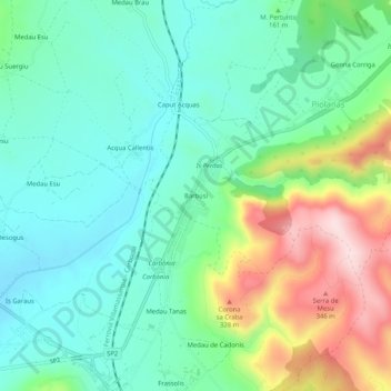
Name: Barbusi topographic map, elevation, terrain.
Location: Barbusi, Carbonia, Sulcis Iglesiente, Sardaigne, 09013, Italie (39.18427 8.48802 39.22427 8.52802)
Average elevation: 147 m
Minimum elevation: 45 m
Maximum elevation: 386 m
Other topographic maps
Click on a map to view its topography, its elevation and its terrain.