
華隆 topographic map
Interactive map
Click on the map to display elevation.
About this map
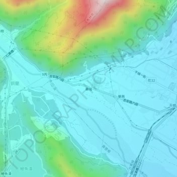
Name: 華隆 topographic map, elevation, terrain.
Location: 華隆, 干城村, 吉安鄉, 花蓮縣, 973, 臺灣 (23.92778 121.50583 23.96778 121.54583)
Average elevation: 201 m
Minimum elevation: 60 m
Maximum elevation: 815 m
Other topographic maps
Click on a map to view its topography, its elevation and its terrain.