
Mita Hills Dam topographic map
Interactive map
Click on the map to display elevation.
About this map
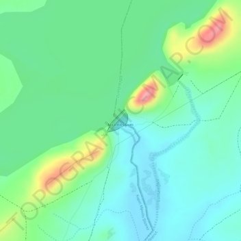
Name: Mita Hills Dam topographic map, elevation, terrain.
Location: Mita Hills Dam, Luano District, Central Province, Zambia (-14.23586 29.11795 -14.23336 29.12031)
Average elevation: 1,108 m
Minimum elevation: 1,074 m
Maximum elevation: 1,186 m
Other topographic maps
Click on a map to view its topography, its elevation and its terrain.