
Bay Road topographic map
Interactive map
Click on the map to display elevation.
About this map
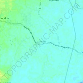
Name: Bay Road topographic map, elevation, terrain.
Location: Bay Road, Westmoreland, Cornwall County, Jamaica (18.21415 -78.21405 18.25415 -78.17405)
Average elevation: 5 m
Minimum elevation: 0 m
Maximum elevation: 15 m
Other topographic maps
Click on a map to view its topography, its elevation and its terrain.
Brighton
Brighton, Westmoreland, Cornwall County, Jamaica
Average elevation: 39 m
Wakefield
Jamaica > Westmoreland > Wakefield
Wakefield, Westmoreland, Cornwall County, Jamaica
Average elevation: 6 m