
Samraong topographic map
Click on the map to display elevation.
About this map
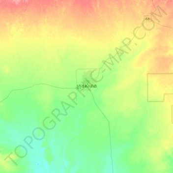
Name: Samraong topographic map, elevation, terrain.
Location: Samraong, Oddar Meanchey, Cambodia (14.01581 103.34923 14.33581 103.66923)
Average elevation: 51 m
Minimum elevation: 24 m
Maximum elevation: 94 m
Other topographic maps
Click on a map to view its topography, its elevation and its terrain.