Geolocate

Serinyaka topographic map

Click on the map to display elevation.

About this map

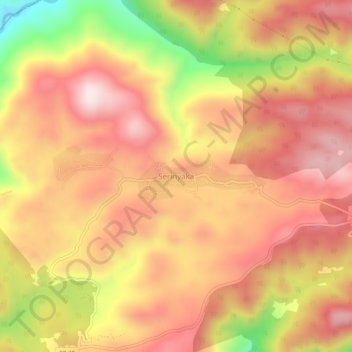
Name: Serinyaka topographic map, elevation, terrain.

Location: Serinyaka, Gündoğmuş, Antalya, Mediterranean Region, Turkey (36.78237 31.80006 36.82237 31.84006)

Average elevation: 619 m

Minimum elevation: 300 m

Maximum elevation: 806 m

Gear up for your next adventure:

🥾Hiking Boots - Waterproof and durable boots for long-distance hiking in the UK
🚲Cycling GPS Computers - Track elevation and topographic routes on two wheels
🔦Keychain LED Torches - Emergency backup light for finding gear in your pack
🧴Tick Removal Tools - Small, essential health tool for UK woodland and moorland
🗺️Scratch-off Peak Maps - Track your progress climbing Munros or Wainwrights

As an Amazon Associate, this site earns from qualifying purchases at no extra cost to you.