
Zionsville topographic map
Interactive map
Click on the map to display elevation.
About this map
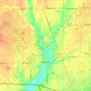
Name: Zionsville topographic map, elevation, terrain.
Location: Zionsville, Boone County, Indiana, 46077, United States (39.92503 -86.31756 40.00603 -86.24075)
Average elevation: 273 m
Minimum elevation: 246 m
Maximum elevation: 291 m
Other topographic maps
Click on a map to view its topography, its elevation and its terrain.