
Plan topographic map
Interactive map
Click on the map to display elevation.
About this map
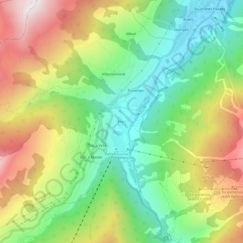
Name: Plan topographic map, elevation, terrain.
Location: Plan, Pragela, Turin, Piémont, Italie (44.97268 6.89947 45.01268 6.93947)
Average elevation: 1,908 m
Minimum elevation: 1,517 m
Maximum elevation: 2,465 m
Other topographic maps
Click on a map to view its topography, its elevation and its terrain.
Pattemouche
Italie > Piémont > Turin > Pragela
Pattemouche, Pragela, Turin, Piémont, 10058, Italie
Average elevation: 1,912 m
Soucheres Hautes
Italie > Piémont > Turin > Pragela
Soucheres Hautes, Pragela, Turin, Piémont, Italie
Average elevation: 1,874 m