
Bagaran topographic map
Interactive map
Click on the map to display elevation.
About this map
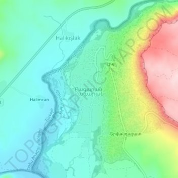
Name: Bagaran topographic map, elevation, terrain.
Location: Bagaran, Baghramyan region, Armavir Province, Armenia (40.13492 43.65605 40.15272 43.66535)
Average elevation: 1,031 m
Minimum elevation: 952 m
Maximum elevation: 1,233 m
Other topographic maps
Click on a map to view its topography, its elevation and its terrain.
Doghs
Doghs, Vagharshapat region, Armavir Province, Armenia
Average elevation: 921 m
Metsamor
Armenia > Armavir Province > Metsamor
Metsamor, Vagharshapat region, Armavir Province, Armenia
Average elevation: 869 m
Metsamor
Metsamor, Vagharshapat region, Armavir Province, Armenia
Average elevation: 863 m
Aknalitch
Armenia > Armavir Province > Aknalitch
Aknalitch, Armavir Province, Armenia
Average elevation: 864 m