
Doghs topographic map
Interactive map
Click on the map to display elevation.
About this map
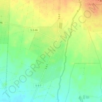
Name: Doghs topographic map, elevation, terrain.
Location: Doghs, Vagharshapat region, Armavir Province, Armenia (40.21339 44.26383 40.23063 44.27726)
Average elevation: 921 m
Minimum elevation: 902 m
Maximum elevation: 940 m
Other topographic maps
Click on a map to view its topography, its elevation and its terrain.
Bagaran
Bagaran, Baghramyan region, Armavir Province, Armenia
Average elevation: 1,031 m
Metsamor
Armenia > Armavir Province > Metsamor
Metsamor, Vagharshapat region, Armavir Province, Armenia
Average elevation: 869 m
Metsamor
Metsamor, Vagharshapat region, Armavir Province, Armenia
Average elevation: 863 m
Aknalitch
Armenia > Armavir Province > Aknalitch
Aknalitch, Armavir Province, Armenia
Average elevation: 864 m