
Masat topographic map
Interactive map
Click on the map to display elevation.
About this map
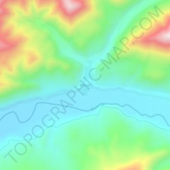
Name: Masat topographic map, elevation, terrain.
Location: Masat, Bayburt, Black Sea Region, Turkey (40.18079 40.52586 40.22079 40.56586)
Average elevation: 1,891 m
Minimum elevation: 1,700 m
Maximum elevation: 2,343 m