Geolocate

Mladá Boleslav topographic map

Interactive map

Click on the map to display elevation.

About this map

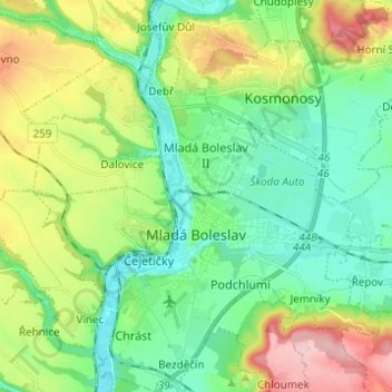
Name: Mladá Boleslav topographic map, elevation, terrain.

Location: Mladá Boleslav, okres Mladá Boleslav, Central Bohemia, Czechia (50.38004 14.84858 50.45855 14.96071)

Average elevation: 254 m

Minimum elevation: 198 m

Maximum elevation: 370 m

Other topographic maps

Click on a map to view its topography, its elevation and its terrain.

Talmberg Castle

Czechia > Central Bohemia > Talmberk

Average elevation: 405 m

Břve

Czechia > Central Bohemia > Hostivice

Average elevation: 371 m

Tůmovka

Czechia > Central Bohemia > Předboj

Average elevation: 201 m

Mysletice

Czechia > Central Bohemia > Votice

Average elevation: 600 m

Bylany

Czechia > Central Bohemia

Average elevation: 323 m

Poličany

Czechia > Central Bohemia > Kutná Hora > Poličany

Average elevation: 300 m

Málkov

Czechia > Central Bohemia > Málkov > Málkov

Average elevation: 375 m

Rejkovice

Czechia > Central Bohemia > Rejkovice

Average elevation: 451 m

Křinec

Czechia > Central Bohemia > Křinec > Křinec

Average elevation: 198 m