
杏花岭区 topographic map
Interactive map
Click on the map to display elevation.
About this map
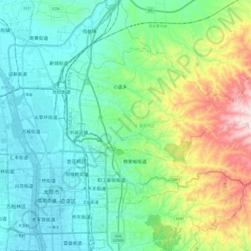
Name: 杏花岭区 topographic map, elevation, terrain.
Location: 杏花岭区, 太原市, 山西省, 中国 (37.86091 112.53086 37.97828 112.77070)
Average elevation: 978 m
Minimum elevation: 779 m
Maximum elevation: 1,594 m
Other topographic maps
Click on a map to view its topography, its elevation and its terrain.