
Mazıköy topographic map
Interactive map
Click on the map to display elevation.
About this map
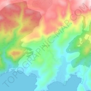
Name: Mazıköy topographic map, elevation, terrain.
Location: Mazıköy, Bodrum, Muğla, Aegean Region, Turkey (36.99389 27.71974 37.03389 27.75974)
Average elevation: 192 m
Minimum elevation: -1 m
Maximum elevation: 491 m