
Frostastaðavatn topographic map
Interactive map
Click on the map to display elevation.
About this map
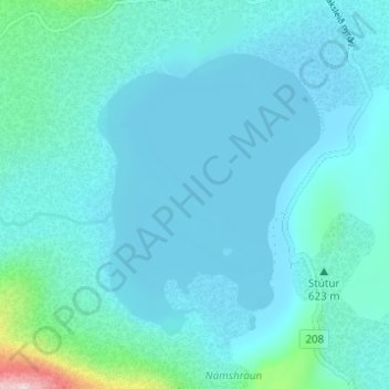
Name: Frostastaðavatn topographic map, elevation, terrain.
Location: Frostastaðavatn, Rangárþing ytra, Southern Region, Iceland (64.00865 -19.07671 64.02825 -19.04122)
Average elevation: 602 m
Minimum elevation: 564 m
Maximum elevation: 931 m
Other topographic maps
Click on a map to view its topography, its elevation and its terrain.