
Pyeong-am-ri topographic map
Interactive map
Click on the map to display elevation.
About this map
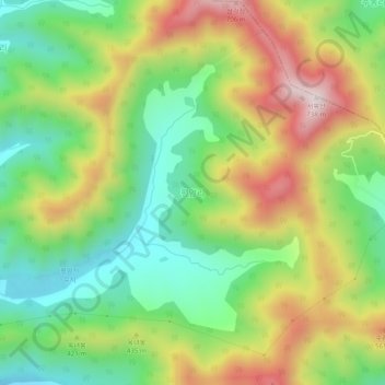
Name: Pyeong-am-ri topographic map, elevation, terrain.
Location: Pyeong-am-ri, Changwon-si, South Gyeongsang, South Korea (35.13942 128.38388 35.17942 128.42388)
Average elevation: 350 m
Minimum elevation: 90 m
Maximum elevation: 713 m
Other topographic maps
Click on a map to view its topography, its elevation and its terrain.