
Vordergalgenberg topographic map
Interactive map
Click on the map to display elevation.
About this map
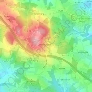
Name: Vordergalgenberg topographic map, elevation, terrain.
Average elevation: 460 m
Minimum elevation: 388 m
Maximum elevation: 563 m
Other topographic maps
Click on a map to view its topography, its elevation and its terrain.
Ruhstorf
Deutschland > Bayern > Landkreis Passau > Windorf
Ruhstorf, Windorf, Landkreis Passau, Bayern, Deutschland
Average elevation: 376 m