
Kenora topographic map
Click on the map to display elevation.
About this map
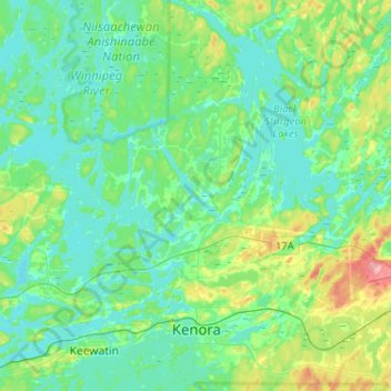
Name: Kenora topographic map, elevation, terrain.
Average elevation: 336 m
Minimum elevation: 311 m
Maximum elevation: 425 m
Other topographic maps
Click on a map to view its topography, its elevation and its terrain.
Slate Islands
Canada > Ontario > Kenora District > Unorganized Kenora District
Average elevation: 322 m
Windermere Lake
Canada > Ontario > Kenora District > Unorganized Kenora District
Average elevation: 422 m
Redbluff Creek;Redbluff Lake
Canada > Ontario > Kenora District > Unorganized Kenora District
Average elevation: 380 m