
Ischgl topographic map
Interactive map
Click on the map to display elevation.
Ischgl
Ischgl has a weather station at an altitude of 2,327 m (7,635 ft). This weather station is located within the alpine climate zone (Köppen ETH), closely bordering on a subarctic climate (Köppen Dfc), because the hottest month is only 9.9 °C (49.8 °F).
About this map
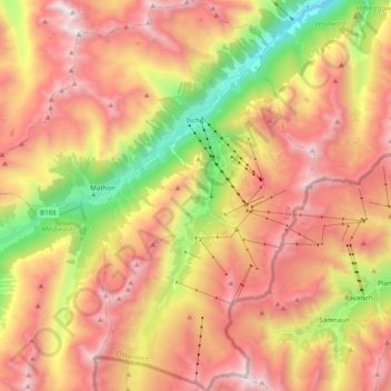
Name: Ischgl topographic map, elevation, terrain.
Location: Ischgl, Bezirk Landeck, Tyrol, Austria (46.91995 10.17910 47.05245 10.35023)
Average elevation: 2,251 m
Minimum elevation: 1,212 m
Maximum elevation: 3,113 m
Other topographic maps
Click on a map to view its topography, its elevation and its terrain.
Pettneu am Arlberg
Austria > Tyrol > Bezirk Landeck > Gemeinde Pettneu am Arlberg > Pettneu am Arlberg
Average elevation: 1,614 m