
Brufut topographic map
Interactive map
Click on the map to display elevation.
About this map
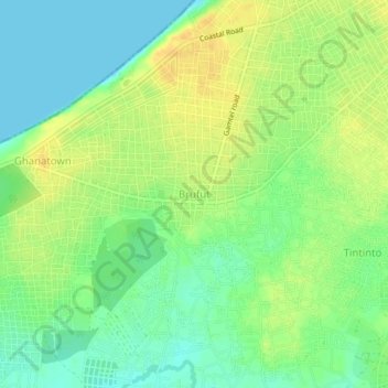
Name: Brufut topographic map, elevation, terrain.
Average elevation: 14 m
Minimum elevation: 0 m
Maximum elevation: 28 m
Other topographic maps
Click on a map to view its topography, its elevation and its terrain.
Abuko
The Gambia > West Coast Division > Kombo North/Saint Mary
Abuko, Kombo North/Saint Mary, Brikama, West Coast Division, The Gambia
Average elevation: 15 m