
Kampung Siam topographic map
Interactive map
Click on the map to display elevation.
About this map
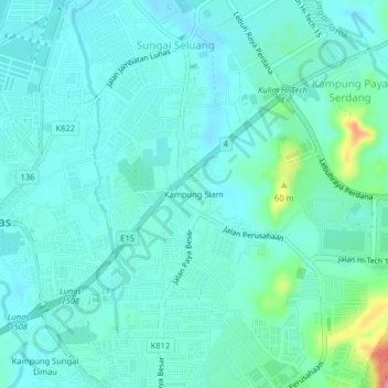
Name: Kampung Siam topographic map, elevation, terrain.
Location: Kampung Siam, Lunas, Kulim, Kedah, 09600, Malaysia (5.41224 100.53324 5.45224 100.57324)
Average elevation: 24 m
Minimum elevation: 8 m
Maximum elevation: 98 m
Other topographic maps
Click on a map to view its topography, its elevation and its terrain.
Sungai Seluang
Sungai Seluang, Lunas, Kulim, Kedah, 09600, Malaysia
Average elevation: 15 m