Liepa topographic map
Interactive map
Click on the map to display elevation.
About this map
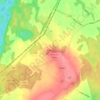
Name: Liepa topographic map, elevation, terrain.
Location: Liepa, Cēsu novads, Vidzeme, LV-4128, Latvia (57.36487 25.40548 57.40487 25.44548)
Average elevation: 78 m
Minimum elevation: 26 m
Maximum elevation: 120 m
Other topographic maps
Click on a map to view its topography, its elevation and its terrain.
Alauksts
Latvia > Vidzeme > Cēsu novads > Vecpiebalgas pagasts
Alauksts, Vecpiebalgas pagasts, Cēsu novads, Vidzeme, Latvia
Average elevation: 208 m
Līgatnes pagasts
Latvia > Vidzeme > Cēsu novads
Līgatnes pagasts, Cēsu novads, Vidzeme, LV-4108, Latvia
Average elevation: 110 m
Līgatne
Latvia > Vidzeme > Cēsu novads
Līgatne, Cēsu novads, Vidzeme, LV-4110, Latvia
Average elevation: 71 m