
泉崎村 topographic map
Interactive map
Click on the map to display elevation.
About this map
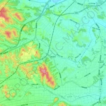
Name: 泉崎村 topographic map, elevation, terrain.
Location: 泉崎村, 西白河郡, 福岛县, 日本 (37.12059 140.23490 37.19240 140.34007)
Average elevation: 316 m
Minimum elevation: 268 m
Maximum elevation: 463 m
Other topographic maps
Click on a map to view its topography, its elevation and its terrain.