
番城街道 topographic map
Interactive map
Click on the map to display elevation.
About this map
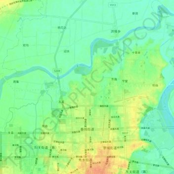
Name: 番城街道 topographic map, elevation, terrain.
Location: 番城街道, 固始县, 信阳市, 河南省, 465200, 中国 (32.17742 115.63325 32.27216 115.72349)
Average elevation: 41 m
Minimum elevation: 28 m
Maximum elevation: 62 m
Other topographic maps
Click on a map to view its topography, its elevation and its terrain.