
Maplewood topographic map
Interactive map
Click on the map to display elevation.
About this map
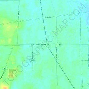
Name: Maplewood topographic map, elevation, terrain.
Location: Maplewood, Shelby County, Ohio, 45340, United States (40.35616 -84.04577 40.39616 -84.00577)
Average elevation: 317 m
Minimum elevation: 309 m
Maximum elevation: 337 m
Other topographic maps
Click on a map to view its topography, its elevation and its terrain.