
Vilarmaior topographic map
Interactive map
Click on the map to display elevation.
About this map
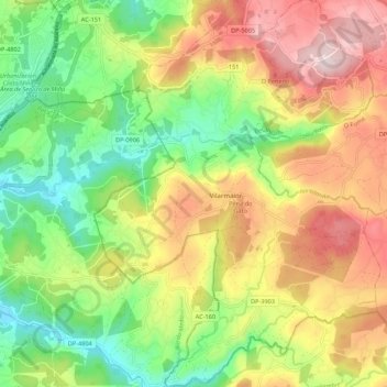
Name: Vilarmaior topographic map, elevation, terrain.
Location: Vilarmaior, Betanzos, A Coruña, Galicia, Spain (43.31555 -8.16689 43.39468 -8.08643)
Average elevation: 197 m
Minimum elevation: 1 m
Maximum elevation: 440 m
Other topographic maps
Click on a map to view its topography, its elevation and its terrain.