
Norangsdalen topographic map
Click on the map to display elevation.
About this map
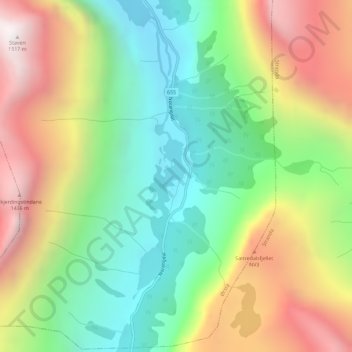
Name: Norangsdalen topographic map, elevation, terrain.
Location: Norangsdalen, Ørsta, Møre og Romsdal, Norway (62.13401 6.73707 62.15401 6.75707)
Average elevation: 764 m
Minimum elevation: 211 m
Maximum elevation: 1,522 m
Other topographic maps
Click on a map to view its topography, its elevation and its terrain.