
Stranda topographic map
Click on the map to display elevation.
About this map
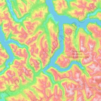
Name: Stranda topographic map, elevation, terrain.
Location: Stranda, Møre og Romsdal, Norway (61.96355 6.65757 62.37216 7.41946)
Average elevation: 738 m
Minimum elevation: -1 m
Maximum elevation: 1,844 m
Other topographic maps
Click on a map to view its topography, its elevation and its terrain.