
Hovland topographic map
Interactive map
Click on the map to display elevation.
About this map
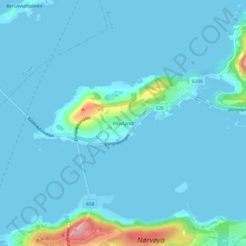
Name: Hovland topographic map, elevation, terrain.
Location: Hovland, Ålesund, Møre og Romsdal, 6007, Norway (62.47394 6.17645 62.51394 6.21645)
Average elevation: 14 m
Minimum elevation: 0 m
Maximum elevation: 169 m
Other topographic maps
Click on a map to view its topography, its elevation and its terrain.