
Make a donation
Gear up for your next adventure:
As an Amazon Associate, this site earns from qualifying purchases at no extra cost to you.
Xingya topographic map
Click on the map to display elevation.
Make a donation
Gear up for your next adventure:
As an Amazon Associate, this site earns from qualifying purchases at no extra cost to you.
About this map
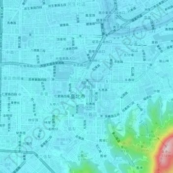
Name: Xingya topographic map, elevation, terrain.
Location: Xingya, Taipei, 11065, Taiwan (25.01965 121.54590 25.05965 121.58590)
Average elevation: 30 m
Minimum elevation: -2 m
Maximum elevation: 341 m
Make a donation
Gear up for your next adventure:
As an Amazon Associate, this site earns from qualifying purchases at no extra cost to you.
Other topographic maps
Click on a map to view its topography, its elevation and its terrain.
Yangmingshan National Park
Unlike most other national parks, the Yangmingshan National Park has a lower elevation. Although the park's elevation ranges from only 200–1120 meters, beautiful landscapes such as ridges, valleys, lakes, waterfalls, and basins are abundant. Andesite rocks make up most of the area's geology.
Average elevation: 397 m
Make a donation
Gear up for your next adventure:
As an Amazon Associate, this site earns from qualifying purchases at no extra cost to you.
Make a donation
Gear up for your next adventure:
As an Amazon Associate, this site earns from qualifying purchases at no extra cost to you.